Local Places to Explore
When you’re up visiting Cloakey’s take the opportunity to stick around a little longer and have a bit of a recky.
Planning your adventure
Meandering 2-3 hours. Drive the 20 minutes to Ingham, park on McIlwraith street, then take a leisurely walk around Ingham discovering the following:
Celebrate our local culture expressed by our local artists in our Regional Art Gallery.
In the Mini Military Museum learn the story of our 31st Battalion, Kennedy Regiment, of WWI with personnel from here and surrounding districts and townships.
Climb the TYTO Observation Tower and get a birds eye view of Australia’s most diverse urban wetland, TYTO.
Wander down to the Tyto Wetland’s water ways and look for turtles as you make your way over to read the local love stories display.
Admire the majestic raintrees, just like the one at the pub, as you look out for agile wallabies (most prevalent early mornings and late evening) who enjoy the succulent grasses and water ways of TYTO Wetlands.
Check out the sugar tracks display of yesteryear farming machinery.
Leave the TYTO Wetlands and walk up to the Ingham Post Office. Built in 1935 it is “one of the last generally Colonial revival post offices in Australia”.
Head over to the Herbert River Canecutter to learn about the history of cane in the area and how the back breaking work was done before modern machinery.
Find the Pub with no beer with my neighbour’s father sitting on a horse. Go inside and read the story written on the wall. WWII the Lee’s Hotel (then known as the Day Dawn Hotel) ran out of beer. Sacrilege. Local poet Dan Sheahan wrote a poem about it which was published in the local paper. Years later Gordon Parson used the poem to write the song “Pub with No Beer” which Slim Dusty famously sang. Dan Sheahan’s son Tom owns the land beside and behind Cloakey’s, toiled now by his son Terry.
Check out the incredible 42 metres of mosaic art down Mercer Lane. Created by over 1,200 locals and visitors.
See the Piazza Conzano which is monument to the massive immigration which drove our area’s sugar cane industry, inparticularly those brave and strong who came over from Italy.
On the way back to your parked car make sure you see the nature inspired urban public artwork by John Heard, Found throughout Tully street, The Circle of Life reflects on TYTO’s biodiversity.
Half day discovery
Charter a flight to circumnavigate Hinchinbrook Island and surrounding area by air.
Experience indigenous culture and history. meet the Nywaigi Aboriginal people, the Aboriginal traditional owners of the lands around Ingham. Tours run on demand and a minimum of 10 people. Mungalla Station and the Nywaigi People - Mungalla Aboriginal Tours ph: 0428 710 907
Full day excursion
Here’s a list of local opperators who run tours. Great hassle free way to discover what we have to offer up here.
absolute North Charters - exit Lucinda
Cracka jack Sportfishing Adventures - exit Lucinda
Hinchinbrook Hire Boats
Hinchinbrook Island Cruises
Ingham Travel
Hinchinbrook Adventures (AIR)
Mungalla Aboriginal Tours
North Queensland Tours
Queensland National Parls
Raven Tours
TYTO Regional Art Gallery Tour
Westofish Guided Charters
Wallaman Falls
See Australia’s highest single drop waterfall in the area’s Heritage listed Wet Tropics. Make sure to bring a picnic so you can leisurely enjoy your time. For those thinking of taking the 4km walk to the bottom of the falls, do plan for around a 30 minute descent and an 1:30 hour climb back up. You will be reward with a fantastic view and may even see some of the many endangered plants and animals of the area. The place has some of the oldest rainforest in the world. Want to stay longer? Check out the camping area just down the road.
Location
51km south from Cloakey’s (52 minute drive).
Welcome
The Warrgamaygan Aboriginal people are the Traditional Owners of this area. They hope you will respect and enjoy this sacred place.
Raspberry Falls
Snuggled in the Girringun National park this difficult and challenging walk rewards the risk taker with breath taking views over the awe inspiring Herbert valley over the Sea View Range all the way to the sea. The spot is remote and the track difficult and poorly marked. There is no phone network coverage so download your map before heading out. In the Mt Fox area take Oak Hill Road on the way the the Lannercoast State Forest. Turn right onto the Western Raspberry Break which is an unmarked dirt road at -18.78917, 145.8317 about 1km before Grants Road on your left. A short while in there is a steep gully which most vehicles can’t pass so you’ll have to walk 850m from here to reach the start of the trail. Before you reach the trail there is a fork in the dirt road at -18.78533, 145.83766 where you go right. The trailhead, marked with a redish pinkish tin lid on a tree and a green “Wet Tropics World Heritage Area” sign at -18.78659, 145.84459, begins the walk which takes about 1:40 hours there and 1:20 hours back again, plus time at the falls to complete. There will be some creek walking so be prepared for soggy wet shoes.
Warning: only attempt in good weather. For experienced hikers only.
Location
68 kilometres South-west of Cloakey’s (62 minute drive then a 1.5 hour walk ).
Welcome
The Warrgamaygan Aboriginal people are the Traditional Owners of this area. They hope you will respect and enjoy this special place.
Broadwater, Abergowrie State Forest
Come play in the beautiful crystal clear waters of the forest in the scenic Herbert River Valley. Walk along the tracks and discover the giant fig tree. Have a BBQ. See a goanna. Book a camp site and forget about leaving anytime soon.
Location
14 kilometres north-west of Cloakey’s (28 minute drive).
Welcome
The Warrgamaygan Aboriginal people are the Traditional Owners of this area. They hope you will respect and enjoy this sacred place.
More Great Walks of the Region
Wet Tropics Great Walk: including Jabali Walk, Blencoe Falls, Juwun Walk, Gugigugi Walk, Buujan Quiinbiira.
Caardwell Lookouts
Attie Creek Falls Track
Cardwell Foreshore Pathway
Thorsborne Trail (on Hinchinbrook Island); includes Ramsay Bay - Nina Bay - Little Ramsay Bay - Zoe Bay - Diamantina Creek - Mulligan Falls - George Point.
Abergowrie State Forest Walks: includes Rainfroest Circuit, The Overflow Track
TYTO Wetlands Nature Walk
Dalrymple gap Walking Track
Walk down the old track to the town across the range, Cardwell, as you twist and turn though the Wet Tropics heritage area, coming across streas and stunning wilderness.
Location
14km North of Cloakey’s (30 minute drive).
Welcome
The Girramay, Bandjin and Warrgamaygan Aboriginal people are the Traditional Owners of this area. They welcome you and hope you respect and enjoy this special place.
Mount Fox (Yellaray)
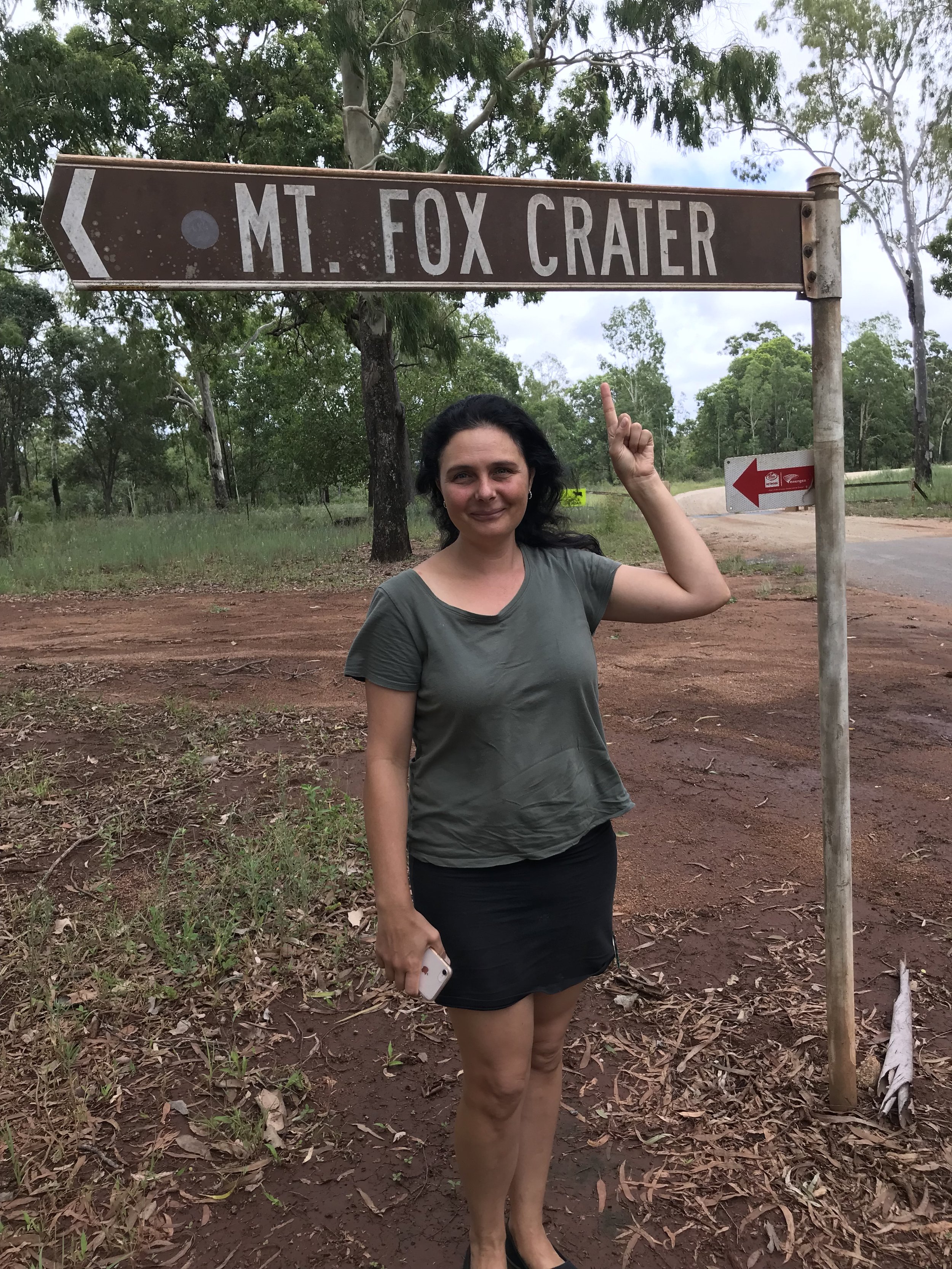
In the Girringun National park, take the crater walk up to our own 100,000 year old classic looking volcano. Perched on the Seaview Range, the views from the crater are breath taking. The drive up through the range to get there is beautiful and scenic. The road follows the route the old loggers made clinging to the end of the range as it winds its way up to the tablelands. Given its blind corners, bends, and narrowness, it’s not recommended to tow trailers or caravans along it.
Warning: There is no marked trail and the ground is rocky with fusiform bombs. For experienced hikers only.
Location
37km South West of Cloakey’s (53 minute drive).
Welcome
The Gugu Badhun Aboriginal people are the Traditional Owners of this area. Please respect this special place and the creatures that live upon it.


